Kawepūrongo
News
Community Update 14: November 2024
Newsletters, Te Awa Kairangi Project Team, 1 November 2024In this issue
- The latest on Mills Street stopbank
- New rock works on the river bank
- A greenway on Parliament Street
- A video about our new name
- We share some sites of significance for mana whenua
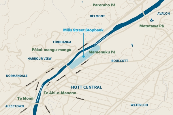
Mills Street stopbank
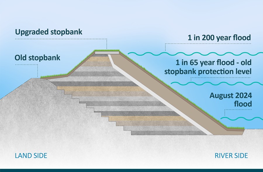
Stage 1 of the Mills Street Stopbank upgrade has been successfully completed, and we are proceeding with further enhancements to strengthen flood defences for the Hutt Valley.
The eastern side of the Hutt River Trail between Melling Link Bridge and Kennedy Good Bridge will remain closed to walkers and cyclists to enable us to carry out river and rock works. Haul roads and work areas established for the stopbank upgrade will need to be used for the rock and river works. The site has considerable hazards, such as unstable rock piles and uneven surfaces. We are committed to working to reopen the trail as soon as it is feasible.
Trail users will need to continue following alternative routes. It’s likely that trail closures, on either the eastern or western sides, will be in place until Te Wai Takamori o Te Awa Kairangi programme is completed.
We appreciate your patience and cooperation while we undertake this important work. For more information, please visit the Mills Street stopbank page on our website.
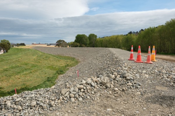
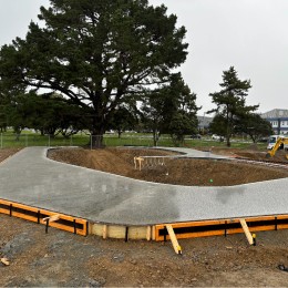
Looking downstream from near the end of Mills Street. The old stopbank is on the left, a temporary section is on the right, leading down to a permanent section in the background.
Mills Street stopbank in action
River and rock works
The new stopbank is close to the river, and is vulnerable to erosion, so further river works are needed to protect it and the other surrounding assets.
We’ll be placing up to 1,000m of rock lines at key points along the river between Melling Bridge and Kennedy Good Bridge. Rock lines are sloping walls which protect the river bank from erosion. They will be built using the rock which is stockpiled along Harcourt Werry Drive. Some willows will need to be removed in these areas.
We’ll also be shaping the river and planting trees. Our bioengineering approach will allow the river to flow in a more natural meandering pattern. It will involve burying willow trees (that we’ve removed for the rock line construction) to stabilise the banks. A mixture of native plants and willow poles (which grow into willow trees) will then be planted, and eventually the willow trees will be phased out.

We’re engaging contractors now, and the first part of this work to move the willows from the rock line sites is likely to start this month.
Parliament Street greenway
From November 6, work will start on the neighbourhood greenway (a shared vehicle and cycling space) at the northern end of Parliament Street.
Note: This start date was changed to December 10.
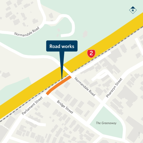
Work involves changes to the road layout and markings, installation of new fencing along the rail corridor, and removal of several on-street car parks.
See the Parliament Street page for more. Learn about neighbourhood greenways on the NZ Transport Agency Waka Kotahi website.
The deeper meaning of our name
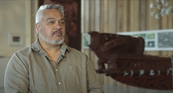
Te Wai Takamori o Te Awa Kairangi is the name gifted to this important project by mana whenua. It means ‘the soothing waters of the Hutt River’ and guides us, as we go about our work, to protect the taonga (treasured river) for the benefit of current and future generations.
Watch our video about the significance of our partnership with mana whenua, and how the name is woven into different aspects of our work.

